Bathymetry & Elevation

The Bathymetry & Elevation tool creates a bathymetry mask based on user specified depth ranges. It also creates a bathymetry band, a topography band, and an elevation band. These bands are all in terms of elevation above sea-level, so they are primarily applicable to oceans, seas, bays, etc. The source data is at 2km resolution.

Menu: SeaDAS-Toolbox -> General Tools -> Bathymetry Layers -> Bathymetry & Elevation
Toolbar: Masks


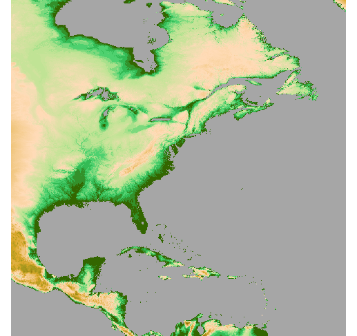
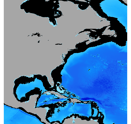
The following images illustrate bands and the bathymetry mask which can be created with this tool.
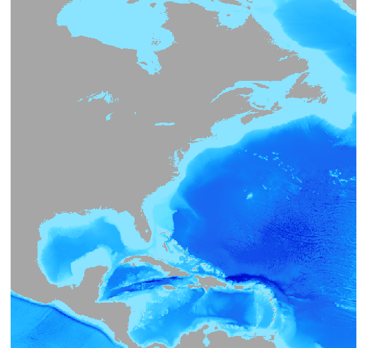

Image 1. Bathymetry band


Image 2. Topography band


Image 3. Bathymetry band with bathymetry mask (in black) visible
Depth Range: -5 m and -2000m


The following image shows the "Bathymetry & Elevation" tool window:
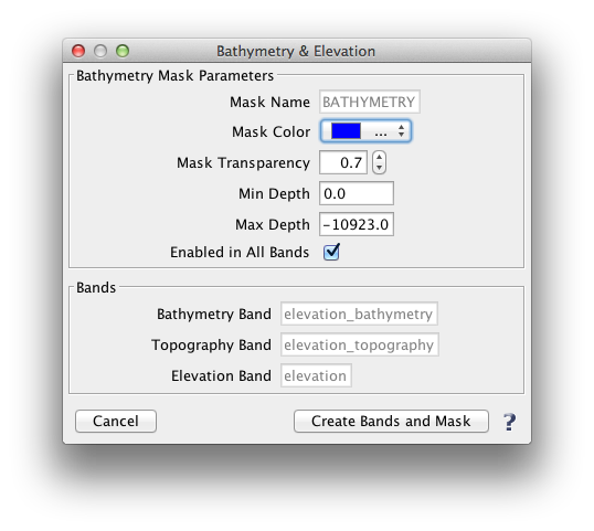


Bathymetry Mask Parameters - This tool will create a single mask named "BATHYMETRY. The mask name is not editable here, however, you may subsequently rename the mask in the Mask Manager tool. The mask color and mask transparency can be set here. The mask range is determined by the fields "Min Depth" and "Max Depth".

"Enabled in All Band" refers to whether to mask will be set to visible in all band within the file. Unchecking this box will result in the mask being visible in the current band and hidden in the rest. Note that at any point later after this tool has run, the mask visibility may be easily toggled in each of the bands.


Bands - This shows the 3 bands which will be created. The band names are not editable here, but may be altered subsequently in the File Info tool. Note that the first time you run this tool, it will create the 3 bands and the bathymetry mask. If you run this tool again, it will not re-create the 3 bands, but will re-create the mask.