| Create Land Mask | |
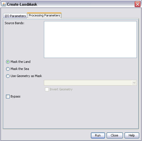
The Create Land Mask operation will turn any pixels on land into no data value. If the "preserve land" check box is set to true then all land pixels will be preserved and all ocean pixels will be set to no data value.
The operator will automatically download a course SRTM 5 minute DEM the first time it is used. This DEM is used to very quickly determine if a pixel is on land or in the ocean.
Alternatively, a geometry from the product could also be used. This could be a user create ROI or an imported Shape file.
The following parameters are used by the operator: